Bobolink Trailhead
Aliases: South Boulder Creek Trail, Centennial Trail
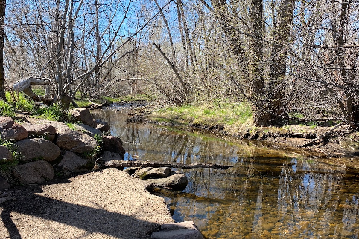
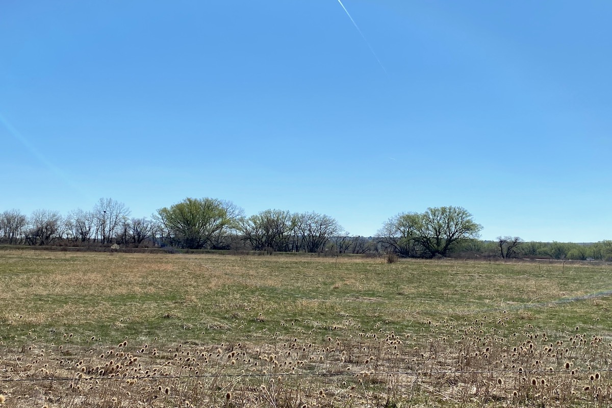
From late May through mid-July, the stars of the show along this trail are – you guessed it – Bobolinks! This is one of the few reliable nesting sites for the species along the Colorado Front Range. A nice riparian walk along South Boulder Creek provides viewing of some water and forest birds and adjacent tallgrass prairie provides habitat for grassland birds. Also watch for foxes and coyotes in the fields.
Restrictions: Please obey all rules and regulations.
County: Boulder
Directions: From Denver: take US Hwy 36 toward Boulder and go north on CO 157/Foothills Pkwy. to Baseline Rd. Head east on Baseline Rd. for about a mile to the parking lot and trailhead on the south, just west of Cherryvale Rd.
Dates of Access: Open all year
Hours: Daylight hours
Ownership: Municipal
Admission or Fees: Free
Parking: Dirt parking area
Lodging: Hotels in Boulder
Disabled: Yes
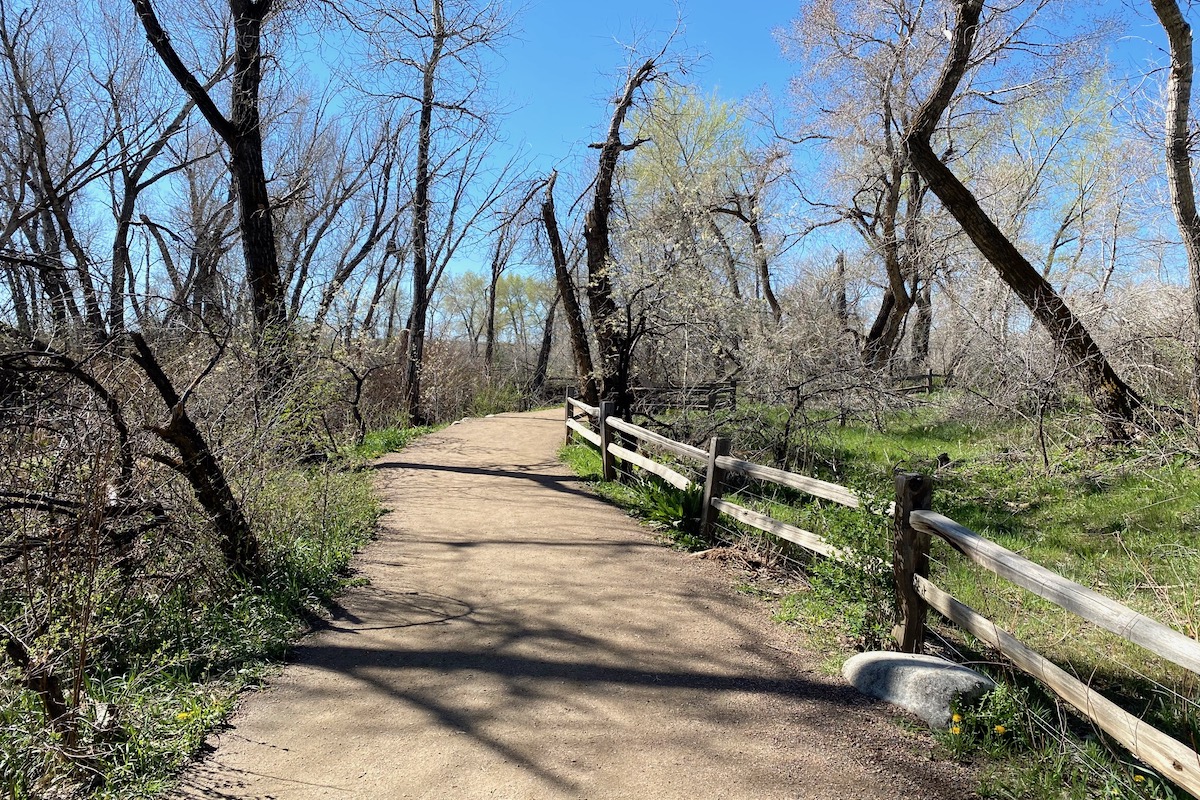
Disabled Access: ADA accessible trail, it has a crusher fine surface and is ranked easy to moderate; paved trail parallels this trail for a short distance.
Latitude: 39.999874
Longitude: -105.214825
Image Gallery
Visit the Website for Bobolink Trailhead »
Additional Resources
Learn more about birds reported at this location at eBird:
https://ebird.org/hotspot/L371786