Laramie River Road
Aliases: Chambers Lake
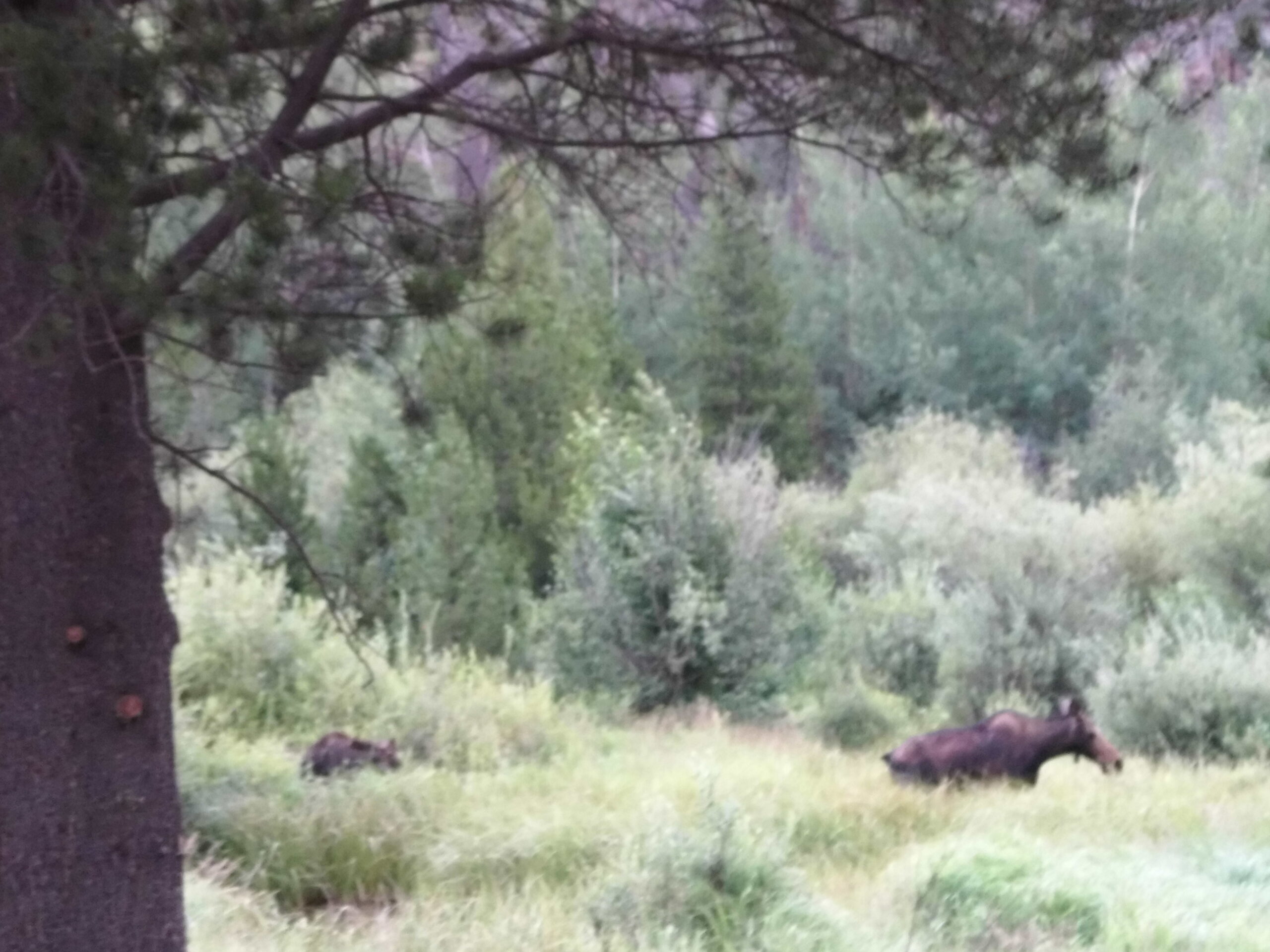
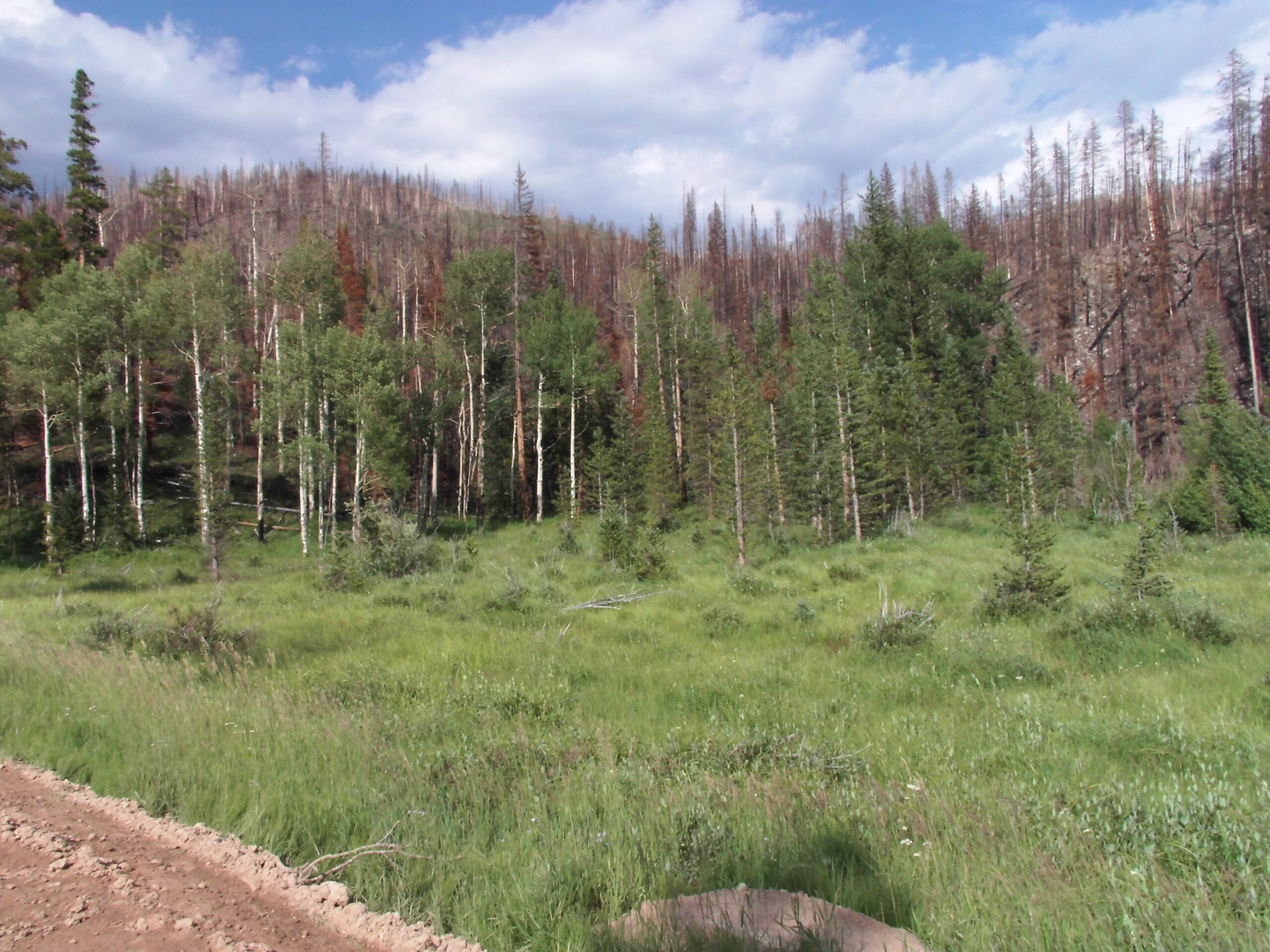
This remote road runs about 20 miles from high-elevation spruce-fir forest down to open sagebrush and wet meadows, through several different forest types, with a tremendous diversity of birds and other wildlife in between, from marmots to elk. Much of the land along the road is public, and there are several National Forest campgrounds and primitive campsites. With luck, Veery can be heard in some areas of dense willows. The burn scar from the 2020 fires devestated the upper hills in the upper valley, but the lower areas are good and the meadows are good for birding.
Restrictions: Please obey all USFS rules and regulations and be respectful of private property.
County: Larimer
Directions: From Fort Collins: head north on US 287 about 10 miles to Ted’s Place, then go west on CO 14/Poudre Canyon Road. Continue for approximately 60 miles to CO 103/Hohnholz Lakes Road. Go north on CO 103 and just past Chambers Lake, the road changes to Laramie River Road.
Dates of Access: July 1 to November 30
Hours: Daylight hours
Ownership: USFS/Private
Admission or Fees: Free
Parking: Dirt parking area
Lodging: Several USFS and primitive campgrounds
Disabled Access: Viewing from car
Latitude: 40.60446867
Longitude: -105.8351787