Lower Bear Canyon Trail
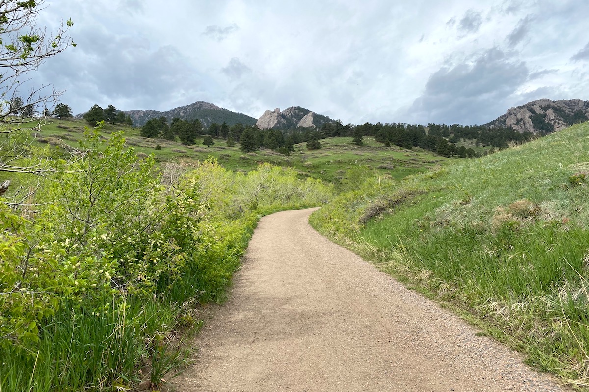
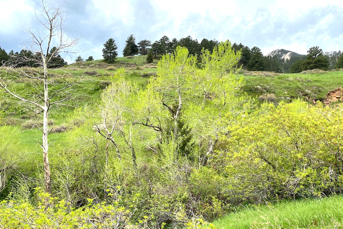
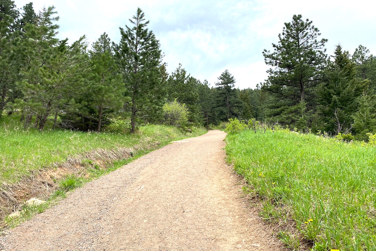
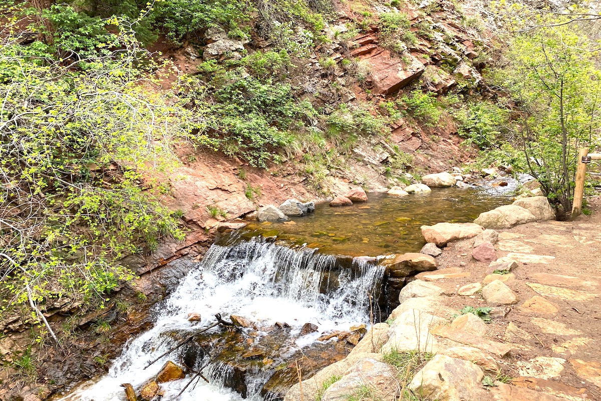
This easy trail leaves a neighborhood and parallels a shrub-filled drainage up into the ponderosa pines. Look for Bushtit, Spotted Towhee, and both Blue and Steller’s Jay. It is good place to see migrant birds in late spring, and Virginia’s and MacGillivray’s Warbler in summer.
Restrictions: Beware wildlife, including rattlesnakes. Please obey all rules and regulations. Be respectful of private property.
County: Boulder
Directions: From Denver: go west toward Boulder on US Hwy 36. US Hwy 36 changes to 28th St.; continue north and at Table Mesa Dr., go west. In about 2 miles, head south on Lehigh St. to Bear Mountain Dr. At Bear Mountain Dr., go southwest for 0.4 miles to the trailhead, located on the west side. Parking is on the street.
Dates of Access: Open all year
Hours: Daylight hours
Ownership: City of Boulder
Admission or Fees: Free
Parking: Street parking
Lodging: Hotels in Boulder
Disabled Access: None
Latitude: 39.9746
Longitude: -105.26684
Image Gallery
Visit the Website for Lower Bear Canyon Trail »
Additional Resources
Learn more about birds reported at this location at eBird:
https://ebird.org/hotspot/L2287746