Lower Poudre Canyon/Gateway Natural Area
Aliases: Poudre Canyon (lower), Young's Gulch Trail, Grey Rock Trail, Seaman Reservoir, Gateway County Park
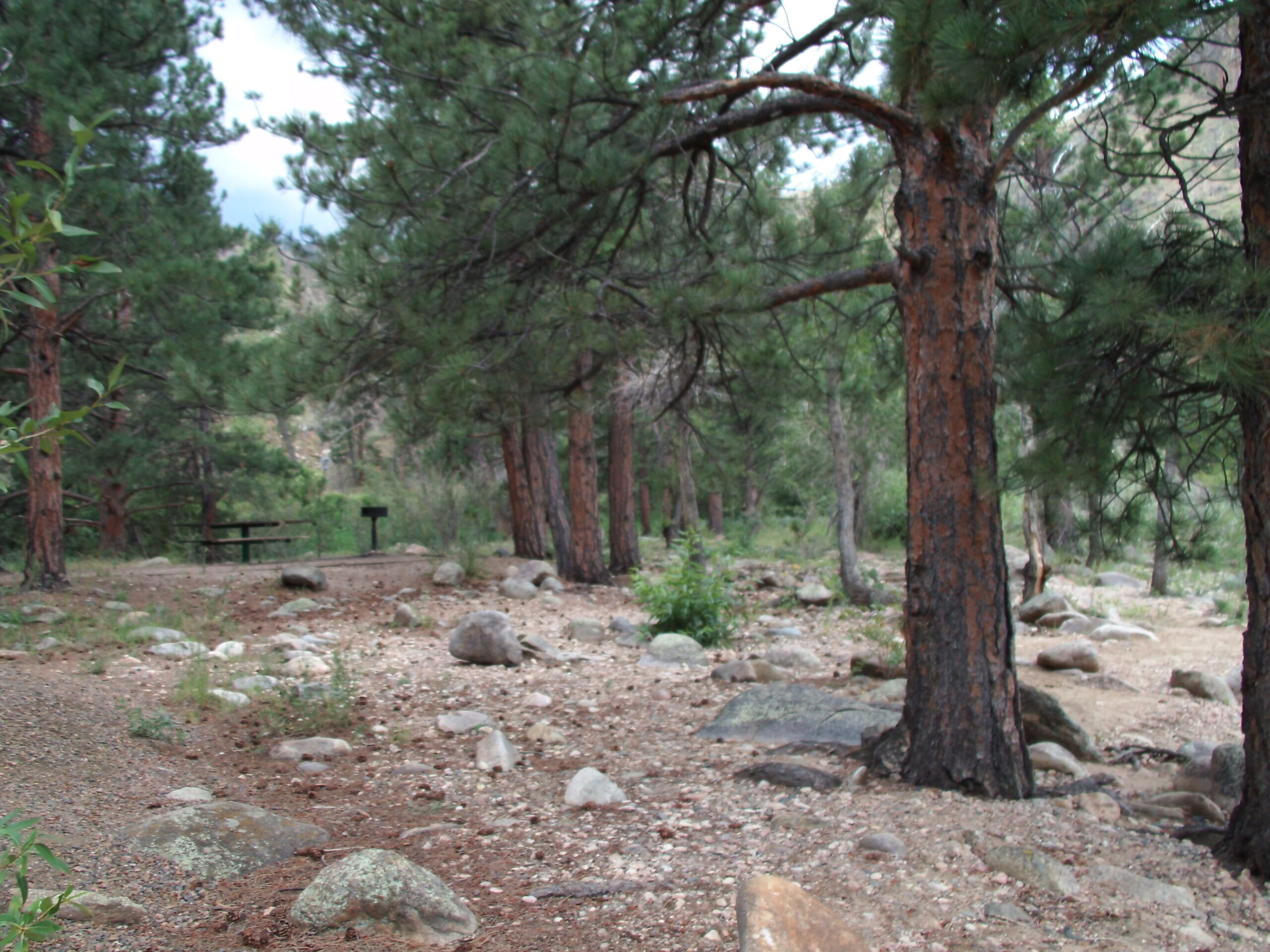
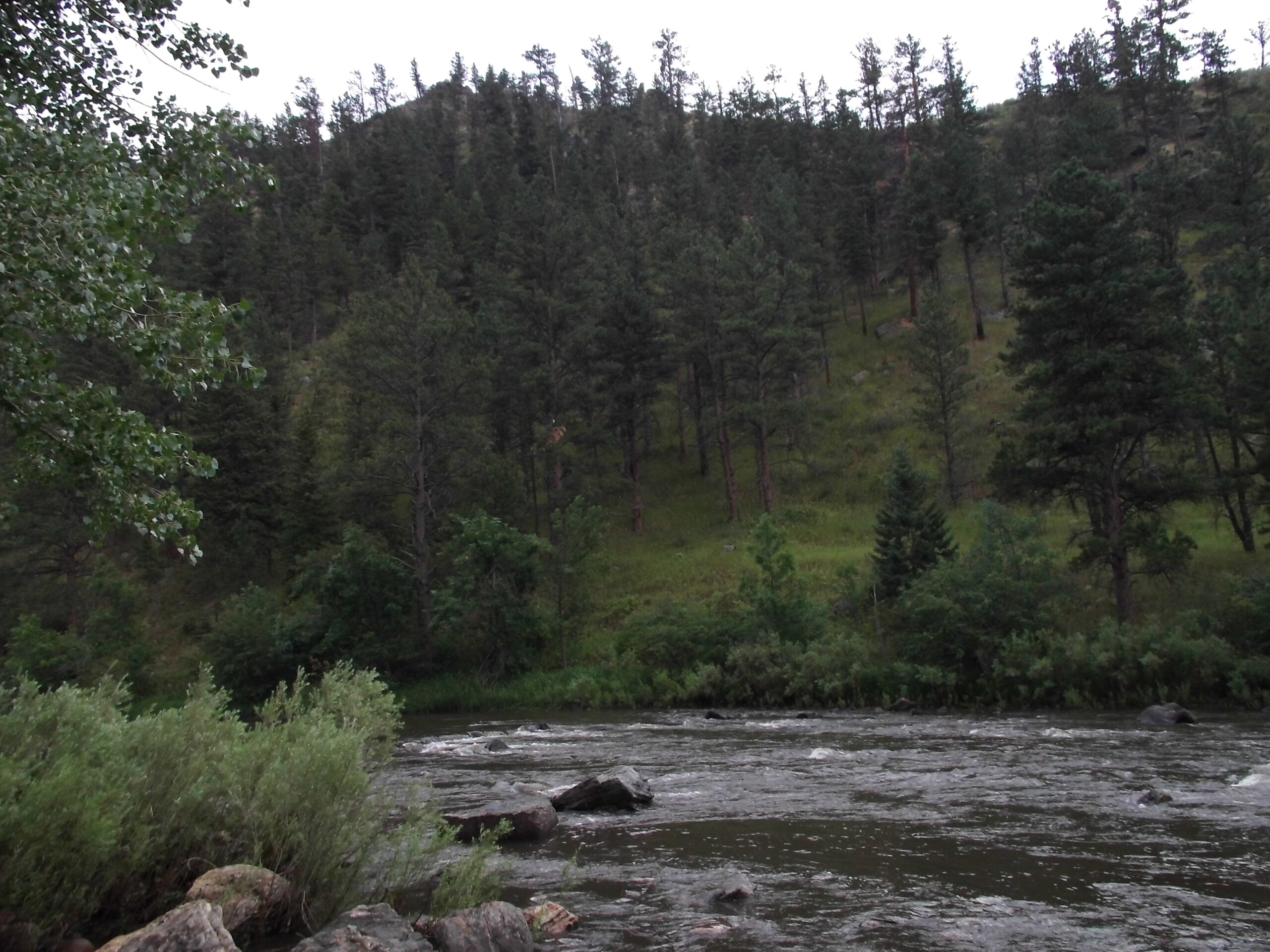
As Colorado Highway 14 follows the Cache la Poudre River west up into the mountains, it passes several trailheads and parks along the way that provide access to the river and adjacent habitats. Gateway Natural Area just may be the best of these. Look for American Dippers bobbing on the rocks in the middle of the river, and Common Mergansers floating on the water. Also watch along the highway for bighorn sheep and mule deer that can sometimes be seen from the road. The 2020 fire has radically changes some areas of the canyon, effecting birding. But, near the River, in most areas, there are still some trees.
Restrictions: Please obey all rules and regulations.
County: Larimer
Directions: From I-25: exit at CO 14/Mulberry Street and go west. Head northeast at Riverside Avenue to US 287. Go north on US 287 for about 10 miles, then go west on CO 14, which runs through the canyon. Gateway Natural area is located about 6 miles in the canyon, on the north side.
Dates of Access: Open all year
Hours: Daylight hours
Ownership: Municipal/USFS/Private
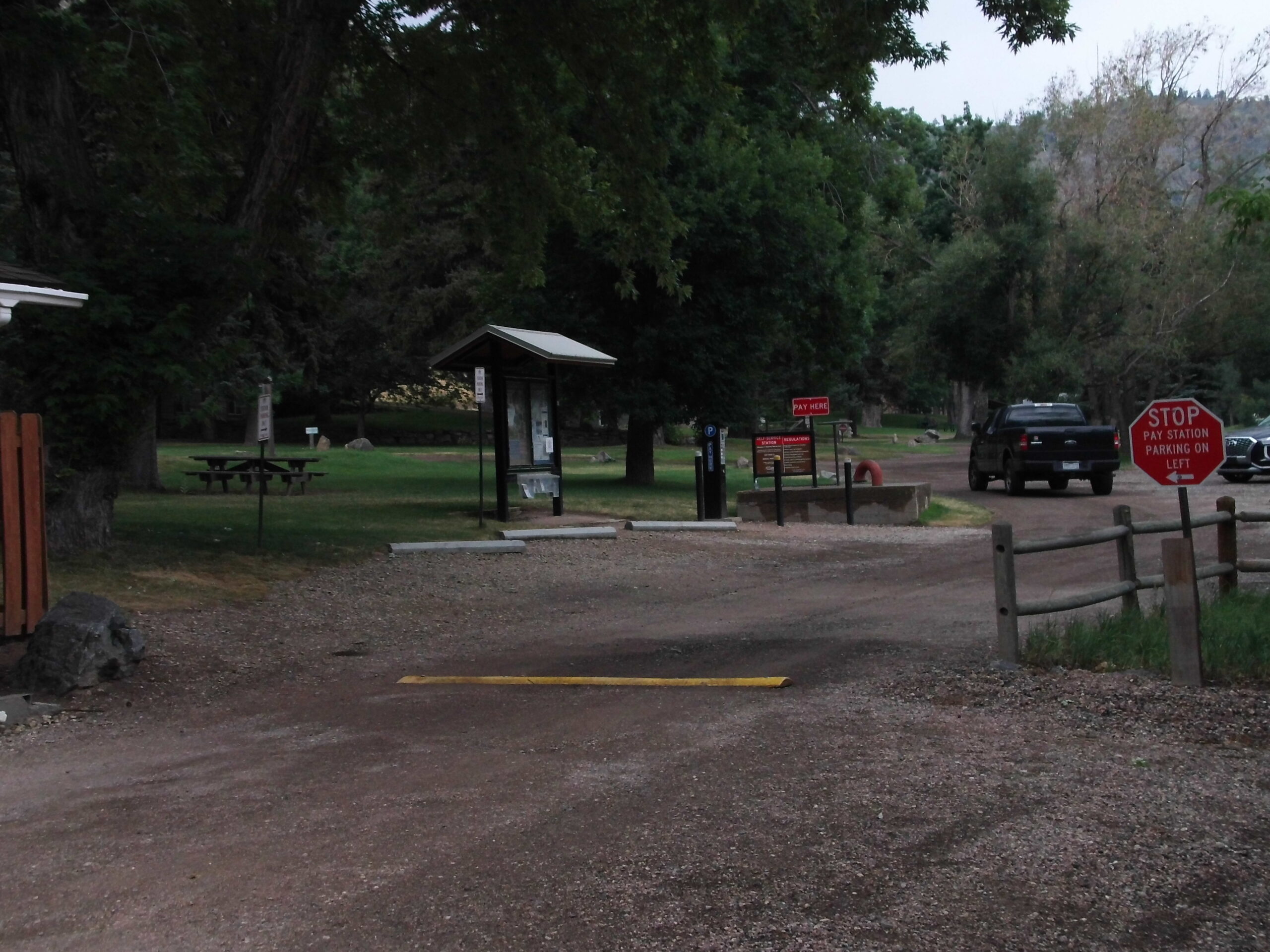
Admission or Fees: Gateway Natural Area requires a daily entrance fee March-November
Parking: Varied
Lodging: Campgrounds along the river
Disabled Access: Some viewing from car
Latitude: 40.69939
Longitude: -105.247728
Image Gallery
Contact Information
Poudre Canyon: https://www.pwv.org/trails/lower-poudre-canyon
Visit the Website for Lower Poudre Canyon/Gateway Natural Area »